Take Home Messages
- EM38 mapping and grid sampling are useful tools for understanding sub-paddock level nutrients and constraints.
- Variable rate management of inputs has the potential to offer cost savings, but is more likely to allow better targeted placement of inputs to get the best return on investment at the sub-paddock level.
- The value proposition of grid sampling and its application to nitrogen management is still under assessment in this work.
Aim
To look at strategies that quantify and optimise the use of sub-paddock level soil sampling and application of VRT for nutrient management to maximise productivity while minimising mining of key soil nutrients. Also, to increase understanding of sub-paddock level variability and the need for soil testing to manage crop inputs
Background
Nitrogen (N) deficiency is the single biggest factor contributing to the Australian yield gap (Hochman and Horan, 2018). ‘N banks’ are a strategy for managing N in crop production areas with low environmental losses from leaching or denitrification. ‘N banks’ require growers to set a locally relevant target for crop N supply (soil mineral N plus fertiliser N) that is enough to maximise yield in most seasons. Soil mineral N is then measured by undertaking soil sampling early in the growing season and, if less than the target N bank, is topped up to the target value with fertiliser N. To further build on the N bank opportunity, BCG and Precision Agriculture have identified the potential to further maximise yields, soil fertility and profitability, through variable rate technology (VRT). This approachaims to optimise fertiliser applications and address sub-paddock variability in plant available nutrients. Soil sampling and mapping will provide growers with detailed sub-paddock information to assist VR application of nitrogen. Two demonstration sites were established. The first adjacent to BCG’s pilot N bank trial in north-west Victoria and a second site on a typical soil type and rotation for the region. BCG and Precision Agriculture propose using the two sites to demonstrate how grid sampling for the collection of soil data and VRT nutrient management strategies can be used to make more profitable decisions.
One paddock is represented in this report which focuses on the soil sampling and N management plan. Harvest results will be presented later.
Paddock Details
Location: Warne
Crop year rainfall (Nov–Oct): 497mm
GSR (Apr–Oct): 384mm
Crop type/variety: Canola 44Y90
Target N strategy: ~170kg N/ha
N application timing: Sowing: 6kg/ha, June 9: 40kg/ha blanket, June 24: VR N application, Sowing Date: 19 April 2022
Harvest Date: 24 November 2022
Average Yield: 3.5t/ha
Method
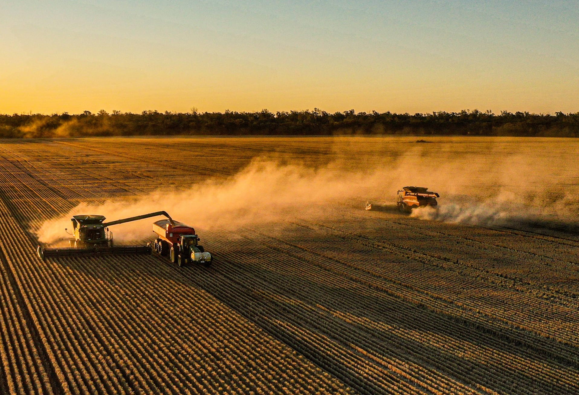
A demonstration site was established near Warne in the southern Mallee, north-west Victoria. Grid soil sampling and EM mapping was undertaken at the beginning of the season to develop a baseline soil map of the paddock. The paddock was divided into a 2ha grid with soil sampling undertaken in February across the grid at depths of 0–30cm and 30–60cm. Lab analyses were used to calculate the soil mineral nitrogen (nitrate and ammonium) in the soil profile, along with identifying other soil characteristics, including areas of sodicity and high chloride levels in some of the sub-soils. The results were then used to calculate the quantity of urea required to achieve a uniform “N bank” across the paddock. Given the environment and work from the James Hunt-led N bank trials, it was identified that 125kg N/ha would be suitable for both sites as a target N strategy, however the site received starter fertiliser at sowing and a blanket application of 40kg of N/ha so the N bank of the site was ~170kg N/ha. Analysis will be undertaken to determine the economic effectiveness of the variable rate application compared to a theoretical application derived from a traditional transect sample of the paddock. This wasn’t available at the time of writing, but will be communicated when key findings have been identified.
Results & Interpretation
Grid sampling and mapping of soil characteristics
EM Maps and ground truthing
Electromagnetic (EM38) results provide powerful insights into soil variability and a reliable basis for more targeted management. The simultaneous collection of EM38 and precise elevation data has been used to create evidence-based soil management zones. These soil management zones can form a foundation for strategic deep soil sampling, identification of sub-soil constraints, strategic soil nitrogen sampling and VR seeding programs, along with the accurate location of soil moisture probes. An EM38 sensor measures the apparent electrical conductivity (ECa) of soils, which is dependent on the volume and type of water, salts, clay and rock within the soil.
Elevation data (used to generate a digital elevation model, DEM) is collected at the same time as the EM38 data, using cm-accurate RTK GPS. The DEM and EM38 data are combined into management zones that describe soil variability and inform the location of strategic soil sampling points. The EM38 and elevation data collected for the paddock are presented in Figure 1 which shows the level of variability across the paddock.
Testing soil samples for traits such as texture, CEC, soil mineral N, salinity and sodicity was used to help ground truth these zones and prioritise future actions, in this case by using a grid sample pattern rather than strategic sampling. Growers undertaking soil sampling to ground truth EM38 maps should look to conduct this within a week of the EM38 survey, so the effects of soil water on the maps can be taken into account. However, EM38 zones are generally robust over time and can be used for sampling strategies year-on-year if immediate sampling is not viable.
In this paddock, strong correlation (>0.7) was detected between EM38 analysis and electrical conductivity, chloride, exchangeable sodium percentage, boron and sulphur at depth (30–60cm). There was no correlation noted between available N and EM38 mapping. The results are presented in Figure 2. This gives confidence EM38 maps can be used to help create management zones based on some potential soil constraints and allow more targeted management as opposed to blanket applications.


Nitrogen
Mineral N is the sum of nitrate and ammonium N measured in the soil. Across the two sampling depths this ranged from 6.0 to 29mg/kg. Looking at the available N in the soil at the time of sampling, this was equivalent to 76–200kg/ha available N (Figure 3). A variable rate urea map was created to achieve a uniform 170kg/ha N bank across the paddock, resulting in urea rates ranging from zero to 100kg/ha for variable rate application on top of the blanket applications that were made to the paddock. This N bank was a little different to the initial target of 125kg N/ha however, given the season presented in 2022 still resulted in regions where N demand and supply were potentially mismatched.
It will help with understanding whether long-term N bank strategies can take some of the risk and decision making out of N management for crops. The other question it may help answer is whether N bank strategies targeting a long-term yield average for an environment are applicable over variable paddocks or if they should be more tailored to soil type or other underlying constraints.

Commercial Practice and On Farm Profitability
Grid soil mapping provides a one-pass, laboratory-analysed method of testing a paddock for variability in soil parameters. It is considered the most accurate and robust method for determining spatial variability in soils and mapping spatial variability at the sub- paddock level.
The cost effectiveness of this practice however means it is important to know when it is suitable for use, and when it becomes just another cost. Variable rate applications allow growers to manage inputs in line with the needs of regions of the paddock, which can lead to cost savings, but not always. Sometimes the real benefit comes from using a similar amount of input, but applying it in the best possible way to get the biggest return. Working out which inputs this applies to and how different regions of the paddock respond then becomes the challenge.
For longer term inputs such as lime or gypsum, grid sampling may help with understanding paddock variability and amelioration needs. Alternatively, EM38 mapping and strategic sampling could also be used to gain sub-paddock information to generate VR applications. Either method can be cost effective, as sampling may only need to occur every few years in line with the life of the amelioration. The exception is more mobile and seasonally variable nutrients such as nitrogen, which should be sampled more often, ideally annually. This project has had the advantage of undertaking both, which can be used to compare strategies and benefits, such as a whole paddock approach versus a management zone approach, to see how growers can better target input management and realise the value of soil tests in their program.
Adoption of precision agriculture for input management can be intimidating, partly because many practices are complex and may require several years before any benefits are apparent. In contrast, the results of grid soil sampling provide a clear call to action and efficiency savings are clear and immediate. It also represents the only reliable, adoption-ready approach to mapping spatial variability of specific nutrients.
Growers are encouraged to continue following the outcomes of this project as they are delivered to determine which strategies increase understanding of sub-paddock level variability and the best management options for maximising return on investment.
References
Hochman, Z, Horan, H (2018) Causes of wheat yield gaps and opportunities to advance the water-limited yield frontier in Australia. Field Crops Research 228, 20–30.
Acknowledgements
This project is supported by BCG, through funding from the Australian Government’s National Landcare — Smart Farms Small Grants: Soil Extension Activities Program