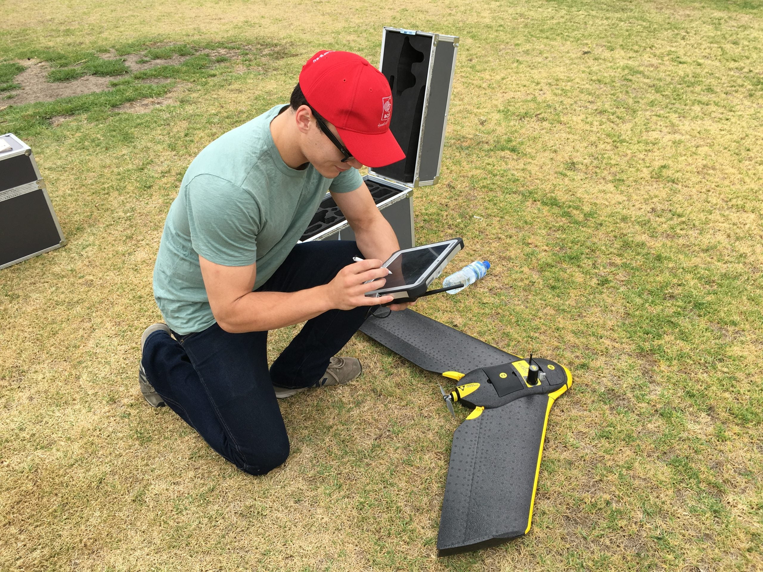

Unmanned Aerial Vehicles (UAVs) are assisting Birchip Cropping Group (BCG) to collect crucial information about the performance of crops included in this year’s field trials.
The new technology is being trialled by BCG this year to see if crop assessments can be performed more efficiently, and to discover the value of UAVs as a tool for broadacre farmers.
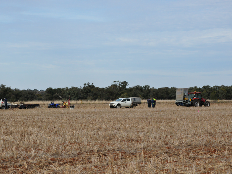
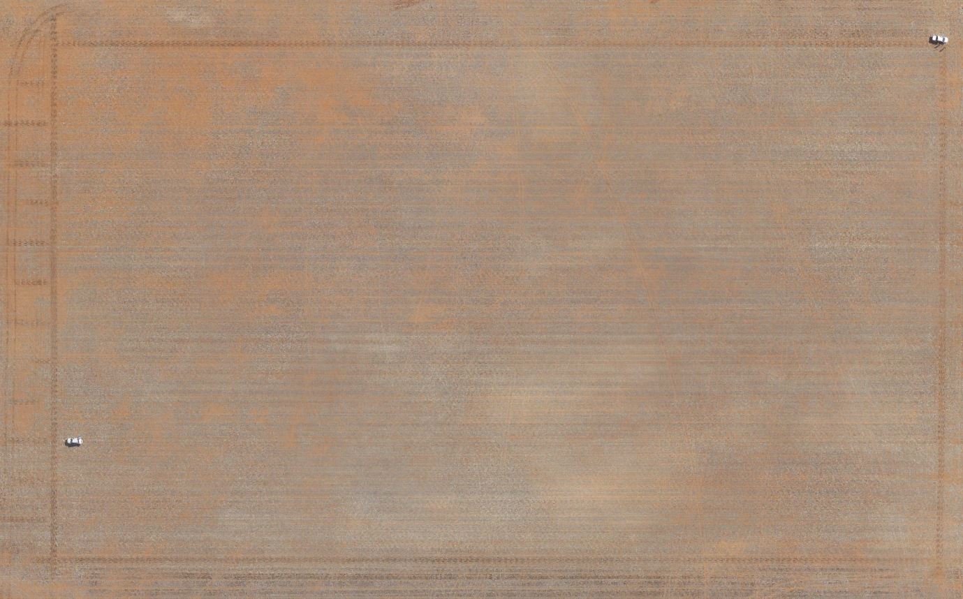
Before sowing commenced images were taken of BCG’s main research site at Warmur with a camera fitted to a UAV.
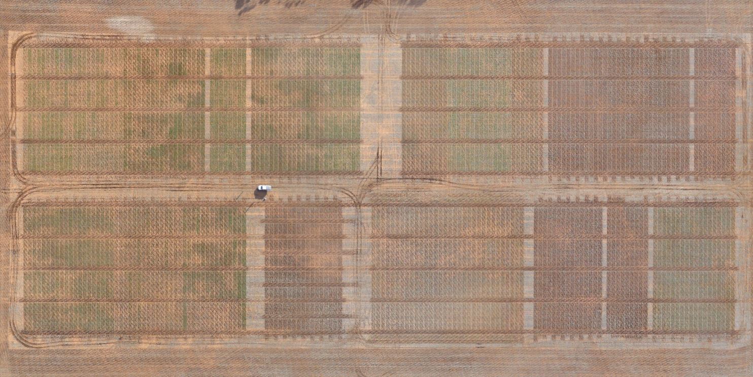
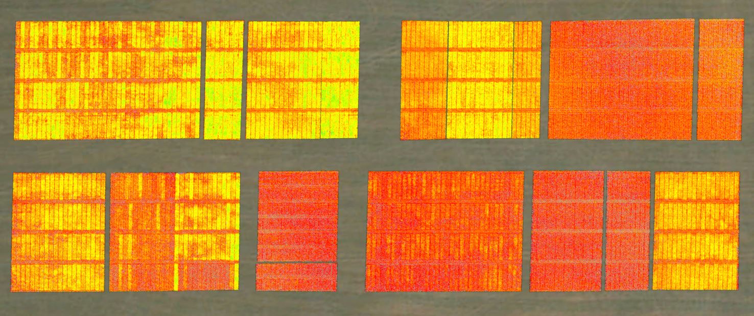
On June 2 a second UAV flight collected photographs of the site as well as NDVI readings, which measure crop ‘greenness’ which can be used to determine crop growth.
The initial images (from April 19) were taken with a standard (RGB) camera which takes an individual photo every few metres that are later stitched together to form an orthomosaic. This camera also generates an elevation map (DEM/DSM) of the landscape as it goes.
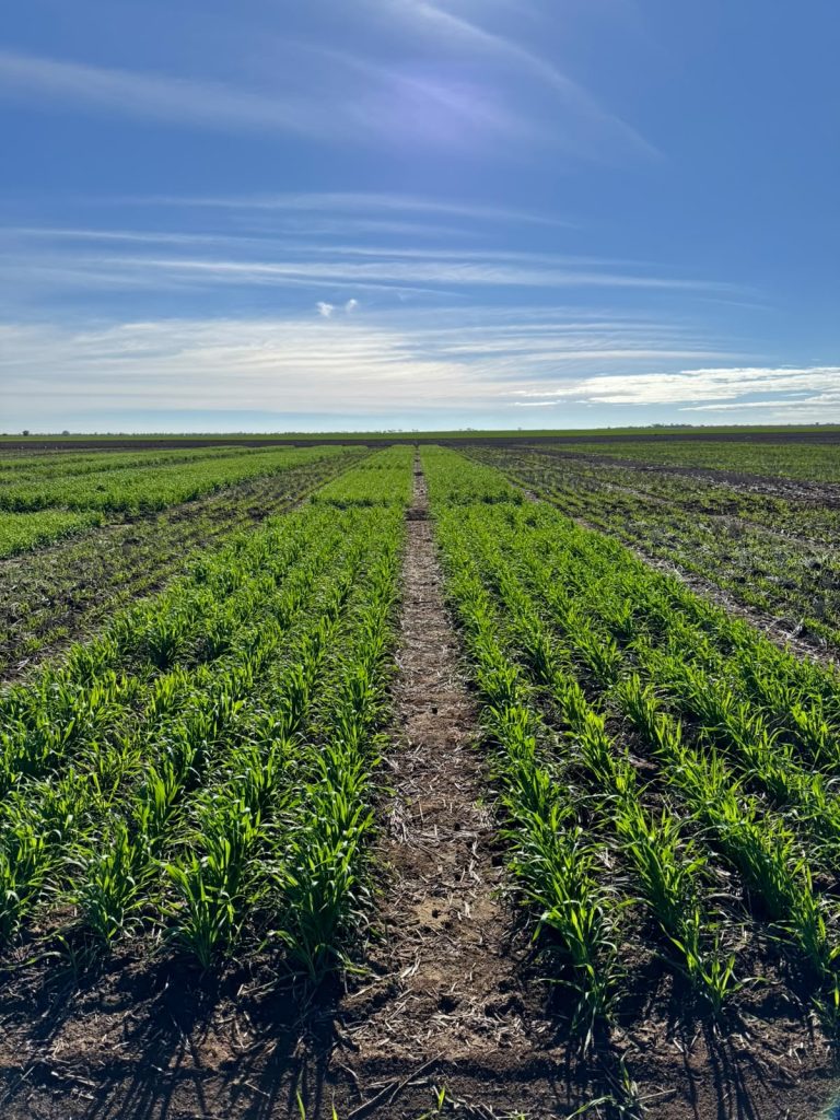
The most obvious things the April image revealed were wheel tracks and stubble and soil variation across the site.
These effects of these were evident in the RGB images and NDVI map generated from a flight on June 2.
BCG research officer Sebastian Ie, said while data collection with UAV has its limitations, the data collected from the flights provided some useful information.
“The NIR camera on the UAV used to measure NDVI is highly effected by weather so may not be as accurate as data collected with a hand-held greenseeker,” he said.
“Nevertheless, differences across the site and within individual trials are still pretty clear, which of course reflects not just the impact of the observations above but also crop type/cultivar, time of sowing, management and so on.”
Since the flight, BCG researchers have been able to use the map generated as a guide when undertaking trial inspections and it has been confirmed that differences in crop growth, as revealed in the UAV-generated map, are predominantly due to differences in vigour, not weeds.
“This means that it can be a helpful tool in identifying fat or thin trial plots, uneven or variable emergence, or cultivar differences at this stage in the season,” Mr Ie said.
Along with Warmur, UAV flights have been conducted over BCGs Manangatang site, as well as the frost site at Lubeck.
A few more flights are planned throughout the season across these sites to collect RGB, NDVI, and thermal data.
All UAV-collected data will be ground-truthed, with biomass cuts and hand-held greenseeker measurements collected for comparison.